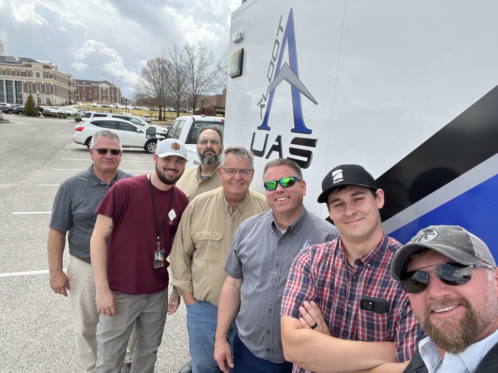
The ALDOT Unmanned Aerial Systems (UAS) team played a key role in the 7th Annual Geo Day at Troy University, an event designed to introduce students to geospatial careers. Geo Day highlights career paths in Geographic Information Systems (GIS), Global Positioning Systems (GPS), surveying and drone technology.
UAS/Mobile Mapping Workshop
The team showcased drone and mobile scanning applications in geospatial data collection, including hydrographic surveying. Next, they explored the diverse sensors used by drones: digital, video, multispectral, and LiDAR.
The presentation explained how mobile scanning and mapping vehicles safely collect extensive roadway data, enhancing efficiency. These technologies integrate GPS, imagery, laser scanners and inertial measurement units (IMUs) to create 3D mapping environments for transportation planning and asset management.
UAS/Mobile Mapping Demo & Tour
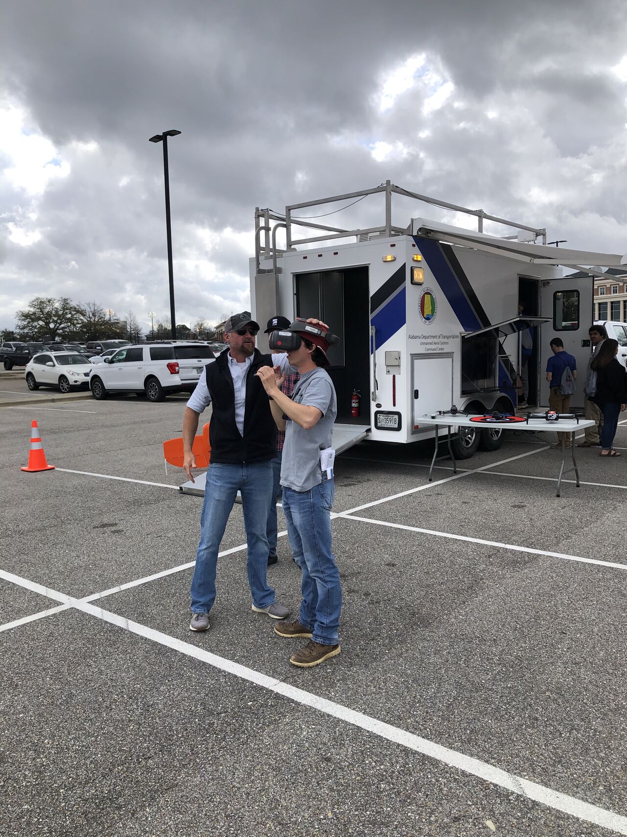
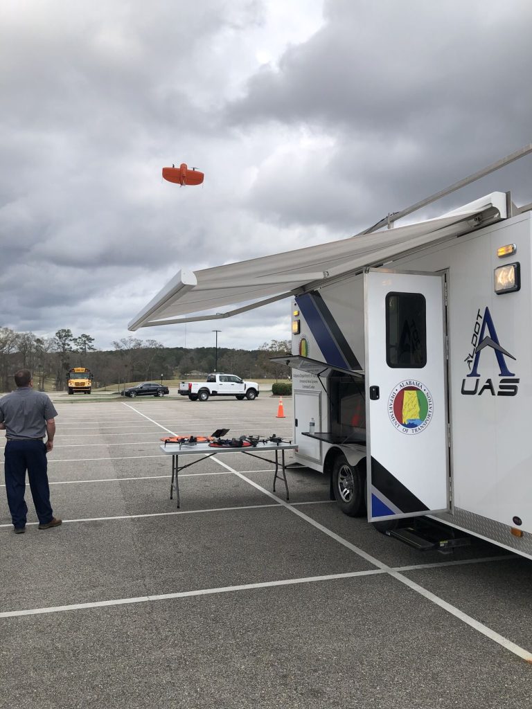
Students had the opportunity to see ALDOT’s Command Center Trailer and Mobile Mapping Truck in action. The demonstration included a live drone launch showcasing its capabilities in surveying and data collection. Students experienced ALDOT’s drone fleet and state-of-the-art mapping technology up close.
Why Geo Day Matters
Geo Day at Troy University helps students explore career opportunities in the geospatial field. The event featured multiple learning sessions, insights from industry experts and exposure to cutting-edge technology. Topics covered included advanced mapping, modern mapping, UAS/mobile mapping and geospatial applications.
For J.D. D’Arville, UAS Program Administrator, the event held special significance. “It’s always a privilege to return to my alma mater, give back and help inspire the next generation of innovators,” he stated.
By participating in events like Geo Day, ALDOT engages the next generation of professionals and showcases how innovative technologies are shaping the future of transportation.