that’s the sound of the future arriving.
The Alabama Department of Transportation (ALDOT) has forged a groundbreaking new program, the Unmanned Aerial Systems (UAS), bringing high-tech drone technology to the state.
While drone technology might sound cool in and of itself, the average Alabama resident is benefiting far more than they may imagine–namely in more efficient use of tax dollars and safety on roads.
A little backstory
John D’arville, UAS Program Administrator, has been with ALDOT for 33 years, and he has always embraced technology. His forward-thinking and experience made him the perfect candidate to pioneer the use of drones at the department.
He started his current role in 2016 and after about 3 years, got the program up and running.
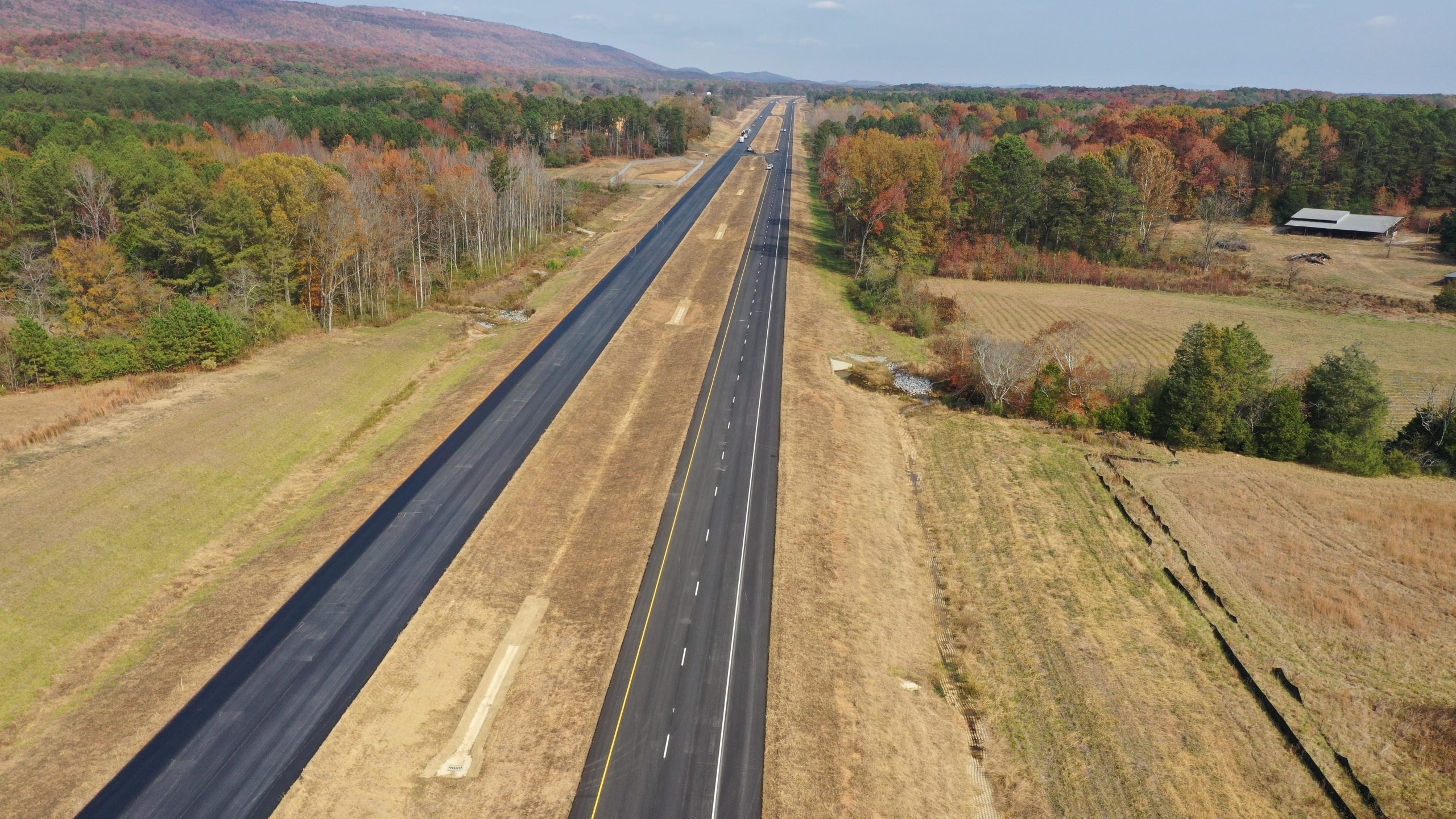
Since then–and weather dependent of course–ALDOT drones fly daily to projects across the entire state, casting a view that just isn’t always possible with the human eye.
“They say a picture is worth 1,000 words, and a picture from 400 feet in the air is just a lot bigger of a picture,” D’arville said.
Drone use day to day and how it impacts Alabama residents
Drones at ALDOT are primarily used in two ways. The first is to send them up to scope an area prior to new construction or development.
This has particularly come in handy in areas where ALDOT property may not always be easily accessible; for instance, if a railroad imposes on a property, drones are able to fly above places that aren’t always walkable to make surveying a site seamless.
The second use, and the bulk of what the drones do daily, is to provide updates to current construction projects. Depending on what a project manager requests, drone pilots will fly them over projects on a regular basis throughout construction to monitor progress.
The drone capabilities have made the entire agency more efficient all around.
“I’m a taxpayer like everybody else, and in the end we’re saving taxpayer money with the project we are doing and the turnaround time,” D’arville said.
Each drone flight requires at least two people to be on the ground, one to fly and one to monitor. D’arville said drones are within eyesight the entire time they are flown. Once images are taken, though, they can be uploaded and made available right away to crew leaders. This gives those doing the work the ability to see within hours what is going on–and possibly catch errors that need correcting–where before it could have taken days.
“This saves time and money and allows crews to focus on things that are more important,” said Jonathan Woodham, UAS Manager.
As manager, Woodham oversees the day-to-day operations of the drone projects, and he said there is another very important benefit to the state: safety.
“They allow us to get information that we could normally get in other ways–but using a drone allows us to do it safer, more efficiently and get a different viewpoint,” Woodham said. “You can see a project in a completely different light.”
Inspectors are now safer as they are able to stay more readily out of traffic, and drivers on roads are as well because drones don’t require stopping traffic to use.
And surveying bridges with drones is a lot safer with the use of a drone, which can fly within inches of a bridge and look for cracks and issues that could be otherwise missed.
Each employee who flies drones spends plenty of time in training–both for the use of the technology and in remaining safe while working in high traffic or other hazardous positions.
Drone use at ALDOT is also proving to be better for the environment–the department is literally leaving smaller footprints.
“We flew around an 800-acre wetland irrigation area for two hours versus stomping around it for days like we used to have to do,” D’arville said. “We still have boots on the ground, but it’s a more efficient way of getting data in users hands so they can make the decisions they need to make.”
Benefits beyond the ALDOT
Thanks to the innovators at the agency, ALDOT drone use has made positive impacts in the work of other state services.
In January, when Selma was struck by a devastating tornado, the ALDOT drones were used to help survey damage.
The agency’s drones have also been put to use by law enforcement in search of a missing child.
In many ways, ALDOT’s drone use is also providing an example to other Department of Transportations across the country. They are invited to speak at conferences in and out of the state about their UAS program.
The Future of drones
ALDOT’s UAS Program has been working on perfecting a new inspection method for bridges: 3D models.
The agency has a specific drone designed for mapping, and they have been experimenting with a method that will provide a safer and more efficient way to check the safety of Alabama’s bridges.
Essentially, the mapping drone will take footage of a bridge–getting within 6 inches of it–and the department will then produce a 3D model of that bridge.
This will allow bridge inspectors to view all they need to do right from their desk–rather than having to travel there and back.
“Sometimes a bridge might be two hours away, and this saves them four hours in travel time,” Woodham said. “This is an extremely good use of taxpayer money.”
Woodham and D’arville both expressed a lot of gratitude for their agency’s leaders taking the plunge into this groundbreaking use of technology.
In his role as administrator, D’arville spends a lot of his time researching and exploring new tech trends, ensuring the department is keeping up with important advancements while also maintaining an efficient use of taxpayer funding.
While drones can be an expensive technology upfront, the return on investment has proven to be substantial in saving manpower and department resources all around.
With highly qualified people at the helm of ALDOT’s UAS program combined with forward-thinking leaders, the future for Alabama’s road and bridges looks bright.